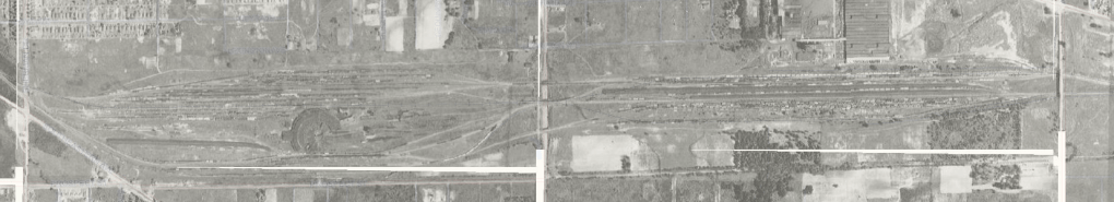
A change in employment has me driving from Cumberland to Greenfield on a daily basis. Unlike my journey to West Carmel, where there is one fastest way to get to my place of work, there are many ways to get to my new work location. Many. Since I have been actively avoid the perpetual orange forest that is Interstate 70 in Hancock County, I have found several interesting drives to work. And although my time on it is short, I find myself interested in Franklin Street in Greenfield.
Franklin Street is closing in on 200 years of history. In its earliest days, it was the Lafayette State Road, at least at the Greenfield end. It was the most direct route connecting Greenfield to Lafayette. The old state road travelled from Greenfield to Noblesville through Fortville. At Noblesville, it would connect to the Noblesville-Lafayette State Road (covered in the State Road 38 West of Noblesville post).
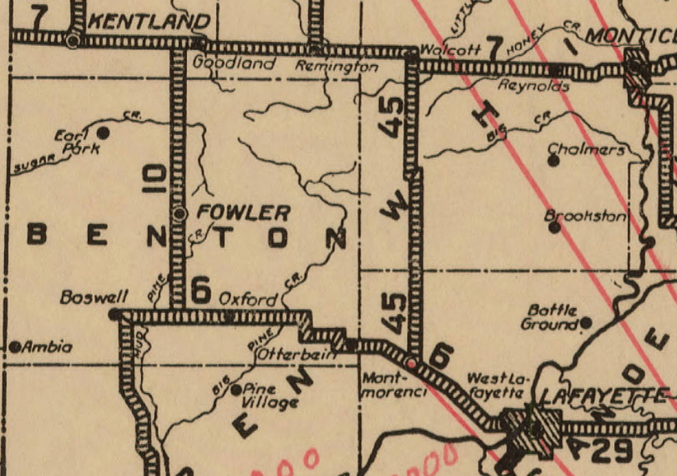
Looking at a map, one will notice that Franklin Street is about 3/4 mile west of what is now SR 9, or the old Anderson State Road. Greenfield wasn’t that big in the beginning. But the old Lafayette State Road connected to the National Road west of the town that was located because of the National Road.
When the counties started selling off the county roads for maintenance, Franklin Street, outside the town, would become the Fortville Pike. As such, it would still serve its purpose to connect to Noblesville…albeit with a toll involved. The road outside the town still connected to the National Road at Franklin Street.
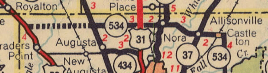
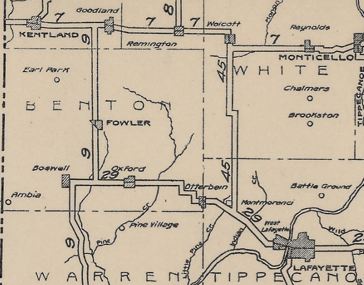
The road was so important that some maps included it as an official state road. This was shown in 1923 in this map.
The road would be officially added to the state highway system in summer of 1932. The State Highway Commission took over the route from Franklin and Main Streets in Greenfield north and northwest. But, the commission had made the comment that instead of Fortville, the state road would connect to SR 67 at McCordsville. No mention of the route it would follow was made. And as it turned out, it didn’t happen that way. The Fortville Pike was used, and it became SR 238. That number was assigned to the entire route from Greenfield to Noblesville.
Within a decade, the state had changed the routing of SR 13 to connect to Greenfield instead of Indianapolis (SR 13 to Indianapolis became SR 37 between Indianapolis and Noblesville). The numbering change would be announced in the Greenfield Daily Reporter of 9 April 1941. This change would bring a third major state road to Greenfield. It would also mean that the road, which has the purpose of connecting county seats, would make Wabash its first governmental center connection. As SR 238, it connected to Noblesville. Not like it made that much of a difference.
One of the things that is mentioned in the newspaper is that SR 13 would connect to SR 9 in Greenfield. But it would end at US 40. Also, “as present, Indiana 13 branches south of Elwood, one lane of traffic leading to Indianapolis through Noblesville, and another coming southeast on the aforementioned route.” That route was listed in the headline: “Highway 238 Gets New Name.”
And although it was still State Road 13 with the building of Interstate 70 (see I-70 At Greenfield), there were no plans to create an interstate interchange at the Fortville Pike. As mentioned in that other article, this created a complete disaster traffic wise in Greenfield in 1967. Unfortunately, within the decade (by 1976), the Fortville Pike was decommissioned as SR 13, and Franklin Street in Greenfield became just another city street.
Albeit one with a long, long, history.